de gb
de gb
Optics for traffic & rail

Lenses FOR Traffic and Rail applications


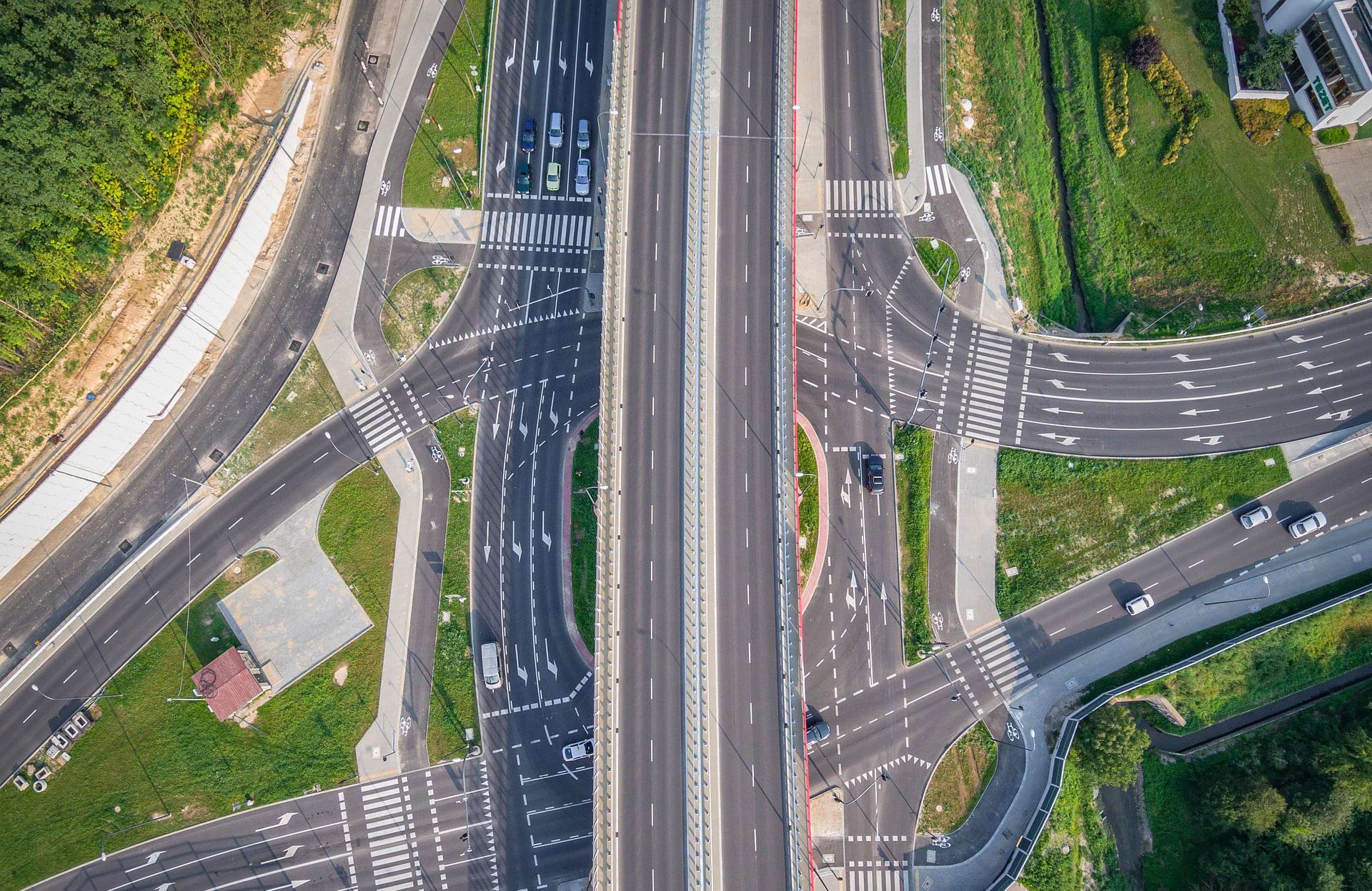
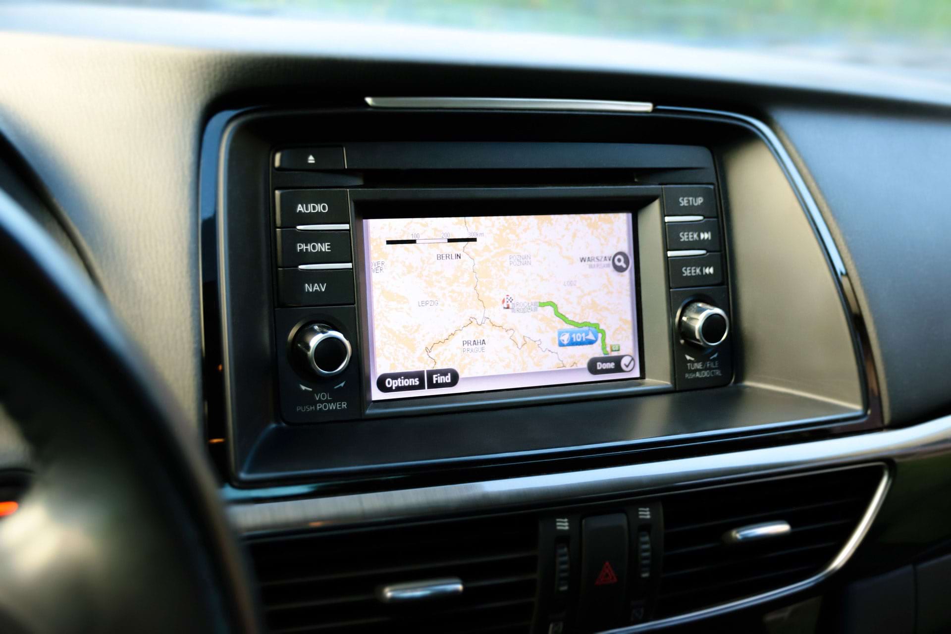
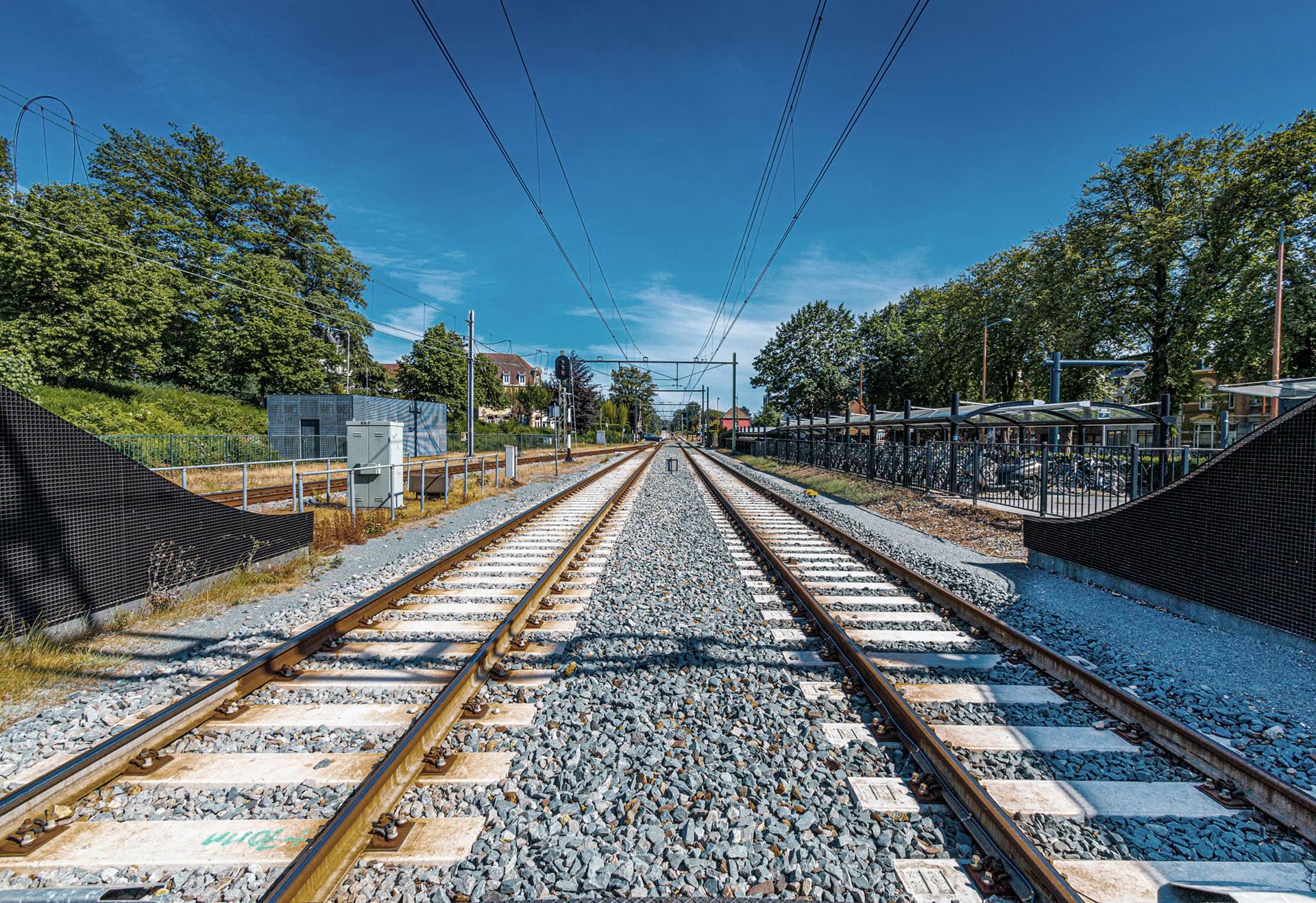
The use of machine vision in the transport and railway industry is used to increase the safety and efficiency of transport, to automatically monitor railway processes and to ensure the quality of railway vehicles. Intelligent traffic systems use image processing technology to classify vehicles and automatically recognize vehicle registration plates This technology is often used in applications such as speed monitoring, electronic toll collection and automated parking systems.

 
Intelligent traffic systems

Intelligent traffic systems


Intelligent Transport Systems (ITS) capture and analyze images and data of roads, vehicles and pedestrians.


Streetmapping

Streetmapping


The use of high-resolution cameras mounted on vehicles or drones to capture high-quality images of roads and buildings.


schneider-kreuznach-traffic-and-rail.png

Traffic infrastructure control


Quality and safety control of transport routes such as motorways and railways with cameras and AI.
 

Intelligent traffic systems (its)


Vision technologies are used in Intelligent Transport Systems (ITS) to capture and analyze images and data of roads, vehicles and pedestrians. This allows traffic data to be captured and analyzed in real time to improve traffic management, traffic monitoring and road safety. One example of the use of vision technologies in ITS is vehicle number plate recognition.

Camera systems can be used to capture and recognize the number plates of vehicles moving on the road or in parking garages. This information can then be used to detect traffic flows and patterns, identify traffic violations and improve road safety. Another example is the use of vision technology to detect pedestrians and cyclists at intersections and on roads. This makes it possible to monitor traffic in real time and, if necessary, adjust traffic lights to increase the safety of pedestrians and cyclists.

Streetmapping


Image processing technologies are used in many areas for street mapping. One of the most important applications is the use of high-resolution cameras mounted on vehicles or drones to capture high-quality images of roads, buildings and other street features. These images are then processed using specialized image processing algorithms to extract the required information, such as road lines, traffic signs and building contours.

Other applications of image processing technologies in street mapping include the use of laser scanning technologies, which enable the creation of 3D models of buildings and other structures, and the use of GPS and inertial sensors, which enable the accurate positioning and orientation of the recording devices.

Traffic infrastructure control


Quality and safety control of transport routes such as motorways and railway lines. Cameras are used on the underside of trains and trucks to check for defects.

Machine vision technology is used to check roads for cracks and potholes. In the case of rails, attention is paid to bolted joints and material defects such as cracks or material fatigue.

Cameras and advanced image processing systems are also used in the rail sector to check overhead lines for defects.

MORE APPLICATIONS